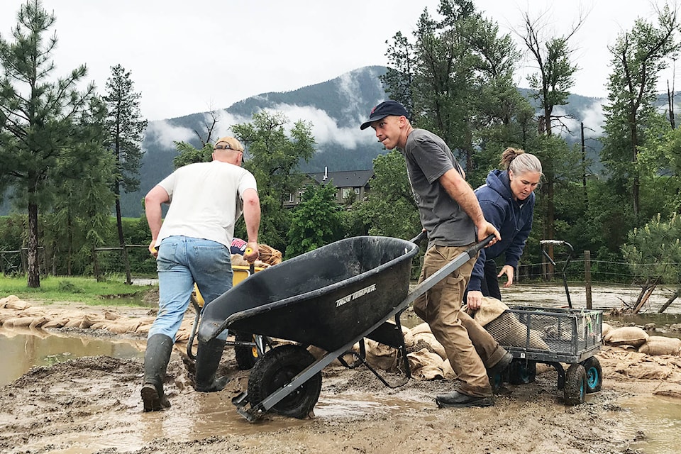
After another nervous spring melt that pushed the capacity of waterways in the Boundary once again, the provincial government announced last week that the Kootenay-Boundary region will received $149,845 to conduct a local flood risk assessment of the entire region. Such a study marks the next step towards a comprehensive flood mitigation plan for the region.
“All we’ve had in the past is a map that shows what a predicted 200 year floodplain elevation would be,” said Regional District of Kootenay Boundary Area D director Roly Russell. “And the reason I’m thrilled about having this funding is because this will shift that into a process to get a better understanding of where the primary flood risk is in in the region. It doesn’t have to be just based on elevation. It can be based on erosion potential or based on debris flows from flooding, you name it.”
According to the province, the project will integrate plans being produced by the municipalities of Grand Forks, Greenwood, and Midway to provide a full regional perspective that will benefit both municipalities and rural residents. Greenwood and Midway were the latest Boundary communities to receive grant monies for such studies in 2019.
Some residents who have repeatedly seen their properties get wet or even go underwater when local rivers peak point to those real-life cases as concrete risk assessments, but Russell said that this funding will allow for the regional district to not only understand the clear risks at lower elevations, but also the consequences of other effects from the water.
“The parts that I think are harder to understand and are more dangerous in so many ways are those abrupt, catastrophic kind of failures of different parts of the system that are harder to anticipate,” Russell said, pointing to access cut-offs, erosion and river rerouting as examples.
“The huge advantage to me is that we ideally will come out of this with a better understanding of where the high risk areas are, regardless of whether it’s just a metre higher or a metre lower, relative to the river.”
@jensenedw
Jensen.edwards@grandforksgazette.ca
Like us on Facebook and follow us on Twitter.