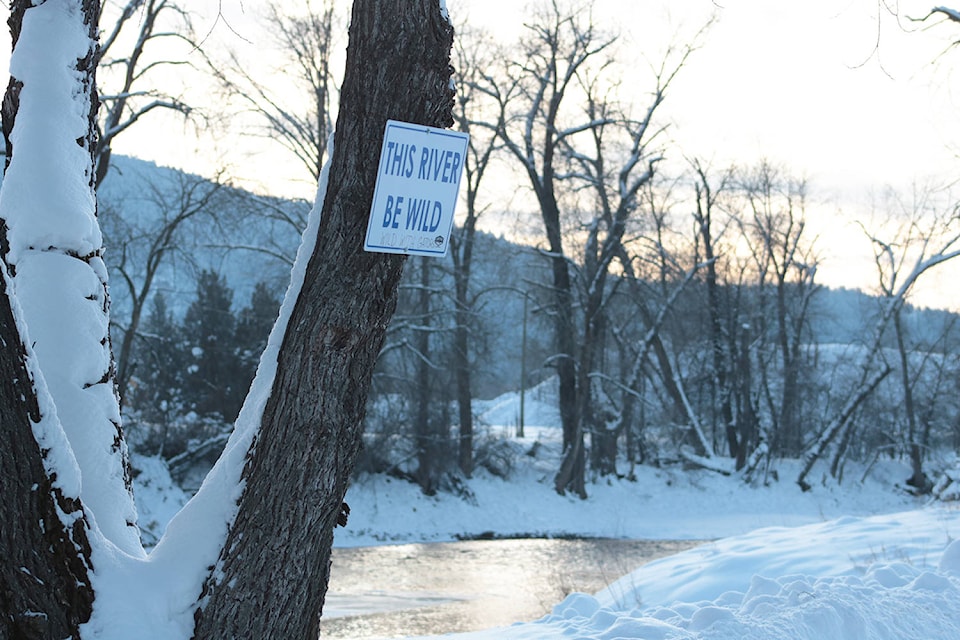
After just a few days of temperatures hovering at or above freezing levels, more water has already begun to flow down the Kettle and Granby rivers. With each rush that passes by monitoring stations, it’s another several cubic metres of water that areas susceptible to flooding won’t be seeing in the spring.
On Jan. 13, when snow felt light like ice dust and it was below -10 C, the Granby saw a peak flow rate of 8.4 cubic metres per second. On Jan. 22, when the temperature stayed above freezing for 24 hours, that flow rate peaked at 17.2 cubic metres per second. The day before, more than 30 cubic metres of water were rushing past the sensor station every second.
The daily flow peaks seen in the recent stretch of warmer weather are encouraging to Mark Stephens, the interim manager of emergency services with the Regional District of Kootenay Boundary (RDKB).
“That’s what we like to see,” Stephens said. “When we have these warmer days, it also takes a little bit of the pressure off the system down the line. We’re removing a little bit of the moisture and the water right now.”
In a region like the Boundary that has come to expect high waters every spring, early and gradual melts are a good sign. The warm weather of late also helps to deal with a higher than average snowpack for the region. On Jan. 1, 2020, the snow depth in the Boundary watershed was measured at 121 per cent of its historical average on that date.
But, Stephens said, that percentage won’t mean much until later on this winter. In January 2018, for example, the snow pack was just 97 per cent of its historical average. It wouldn’t be until a spate of hot weather and rain covered the area in the spring that the snow levels became an aggravating issue too.
“We had all three maxed out,” Stephens said of the 2018 flooding events. “We had extremely high snow pack, 30-degree weather and then 40 millimetres of rain. We had all these factors that led in to that [flood].”
Stephens cautioned anyone looking at early snowpack reports to read the numbers with a grain of salt.
“My caution to people is that this is a singular data point, extrapolated across a large area,” he said. The measurement came after a significant dump of snow met the Boundary over the last week or so of 2019. “If we don’t get any more snow [this month],” Stephens said, that level changes, [so] it’s a little bit misleading when you look at it like that.”
Kristina Anderson, the Kettle River watershed planner, agrees.
“It’s really early to figure out what’s going to be happening for freshet and how what’s happening now in January is going to be potentially affecting what’s going to happen in May,” she said. “We’re very aware of the fact that it’s high and we’re paying attention, but we also know that we’ve got a lot of time to go before we start having a couple more focused conversations.”
Understanding water flow
in the Boundary
The Regional District, the province and at least one local non-profit are currently exploring what activities on the landscape affect water flow through the region, and how they affect rate and direction of water.
At at Kettle River Watershed Advisory Council meeting last November, a hydrologist who has been studying the watershed for the Ministry of Forests, Lands and Natural Resources highlighted forest cover at higher elevations as an influential factor in determining runoff rates, for example.
Analysis done by the team of hydrologists delved into scenarios of peak streamflows based off data gathered on rivers in the Boundary since 1989. The data, then paired with models depicting various levels of forest cover in the area – 100 per cent in-tact, 50 per cent in-tact – revealed that the more a forest is disturbed by fires and logging at high elevations, the more peak streamflows are affected.
If 50 per cent of the forest area mapped on crown land in the Boundary were to be disturbed, for example, the data suggested that there could be two peak flow events in a year, and a 10 to 20 per cent increase in average peak stream flow.
Another study examining the cumulative effects of various activities on the watershed is being undertaken by the province to identify areas that could be better managed or supported. Researcher Cassidy van Rensen said that her team will be putting together a public report in 2020.
For now though, Stephens said that the RDKB monitors water levels, snowpack and forecasts daily to check figures against its own flood response plan and said that more detailed analysis will kick into gear in February. The next provincial snow bulletin will be released on Feb. 7.
“We need that snow and that snow-water equivalent to to drive our ecosystem through this summer and help us against protect against wildfires and everything like that,” Stephens said.
Nevertheless, both Stephens and Anderson welcomed public interest and questions about water levels in the Boundary.
“By all means contact the emergency management department, the RDKB, contact myself if you’ve got any questions,” Anderson said. We may be not be able to answer the question and we may be redirecting you to somebody, but I think the biggest thing is to try to get some of that information out.”
Residents can also find freshet conditions and reports on the RDKB’s Emergency Operations website.
Stephens also recommended that all households have a 72-hour emergency kit prepared and at hand, to help in case of any emergency such as sustained power outages, forest fires or floods.
@jensenedw
Jensen.edwards@grandforksgazette.ca
Like us on Facebook and follow us on Twitter.
